Part of our preparation for our trip is making sure we have a good grasp on the geography of the Holy Land. Looking at maps is awesome and helpful, but we wanted to make it a bit more “hands-on”.
We started by making a “Post-it Note” map back in July 2018. It was incredibly generalized, and not at all perfect:
Em reviewing about the cities (orange notes) and water bodies (blue notes), July 2018
We learned the major seas (“The Dead, the Red, and the Med”), added the Sea of Galilee, and talked about some of the major cities, both past (Caesarea Maritima and Capernaum) and present (Dan, Tel Aviv, Jerusalem). It was helpful in figuring out basic directions, such as the Galilee is north of the city of Jerusalem, the Jordan runs down in the east side, or the Red Sea is farthest south. And we started becoming familiar with the names and general locations of places in the Holy Land.
Post-it notes being what they are, this was a ephemeral map. Eventually, all the notes were removed, displaced, or lost–which was okay! It was expected. In April 2019, we decided it was time to do something different. And slightly more permanent. (Imagine the mom in me getting excited and cringing at the same time.)
Bring out the permanent markers and a video projector!
Here Gee is using a laser pointer to indicate different countries surrounding Israel and the Palestinian Territories.
My five children, from 15 to 8 years old, writing on my wall with black permanent markers. (Cringe!) (But awesome!)
More jostling, drawing, and complaining when a sibling got their shadow in the way.
There were surprisingly few arguments, though.
Here is the finished product!
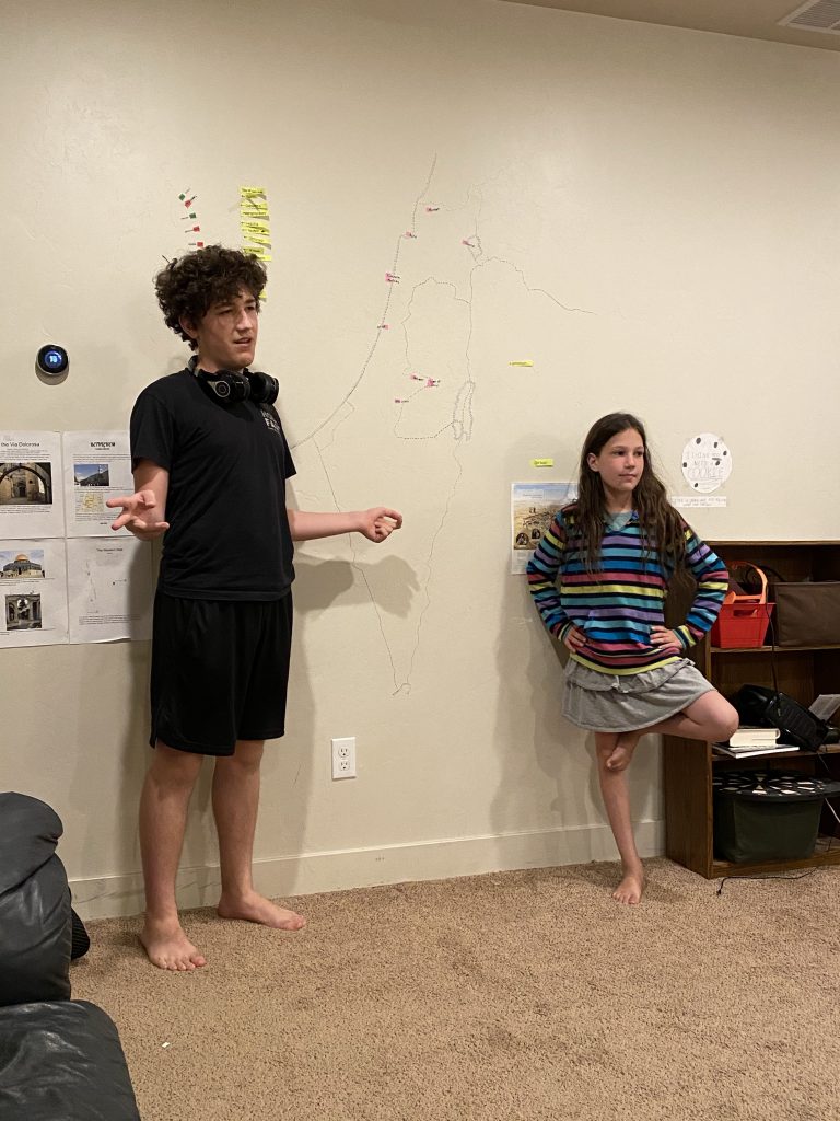
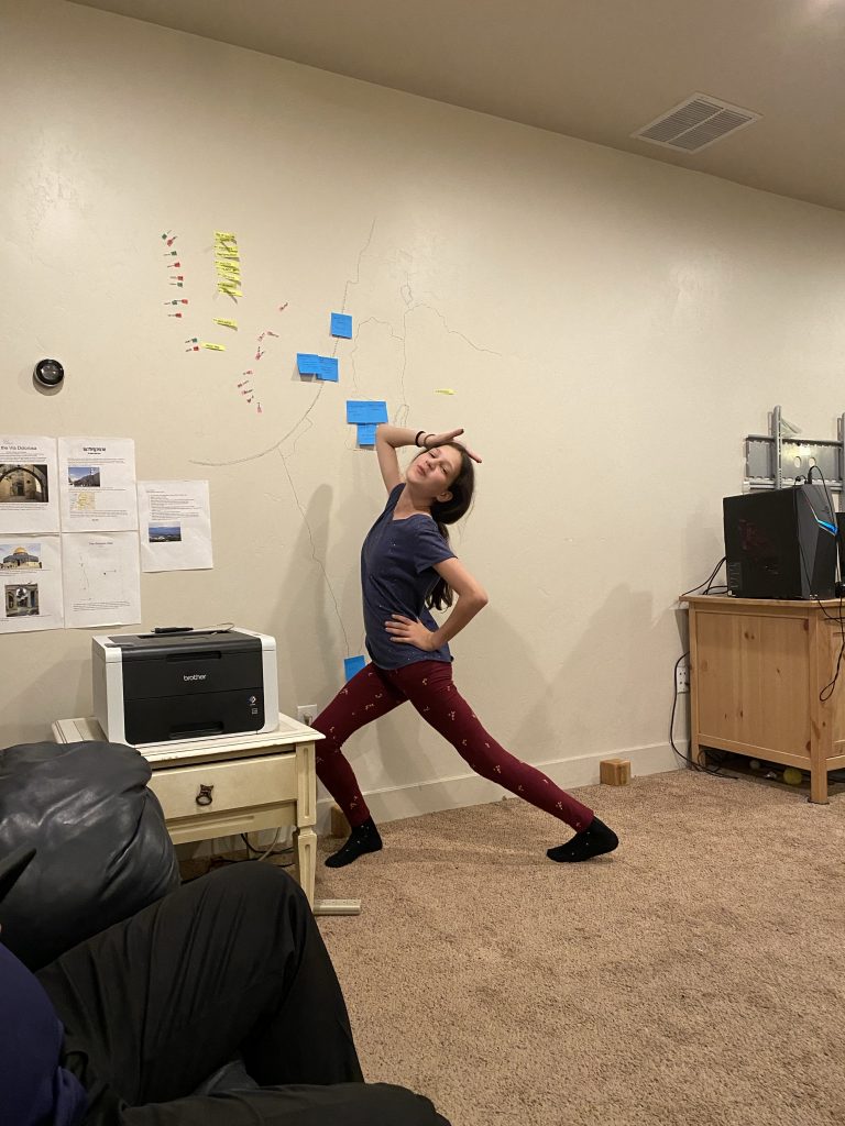
Though it is pretty faint, it really has been so helpful as we have prepared. There are no names, no cities, no lakes or rivers (except as delineated by a border). But this is the blank slate upon which we have talked about ancient events, Biblical events, more recent events, physiographic locations (mountains, rivers, valleys), and current events. We’ve used post-it notes to show the Kingdom of David, the cities during the time of Jesus, the Crusader era, etc.

Yummy and Zee, June 2020

Yummy posing in front of the map, May 2022
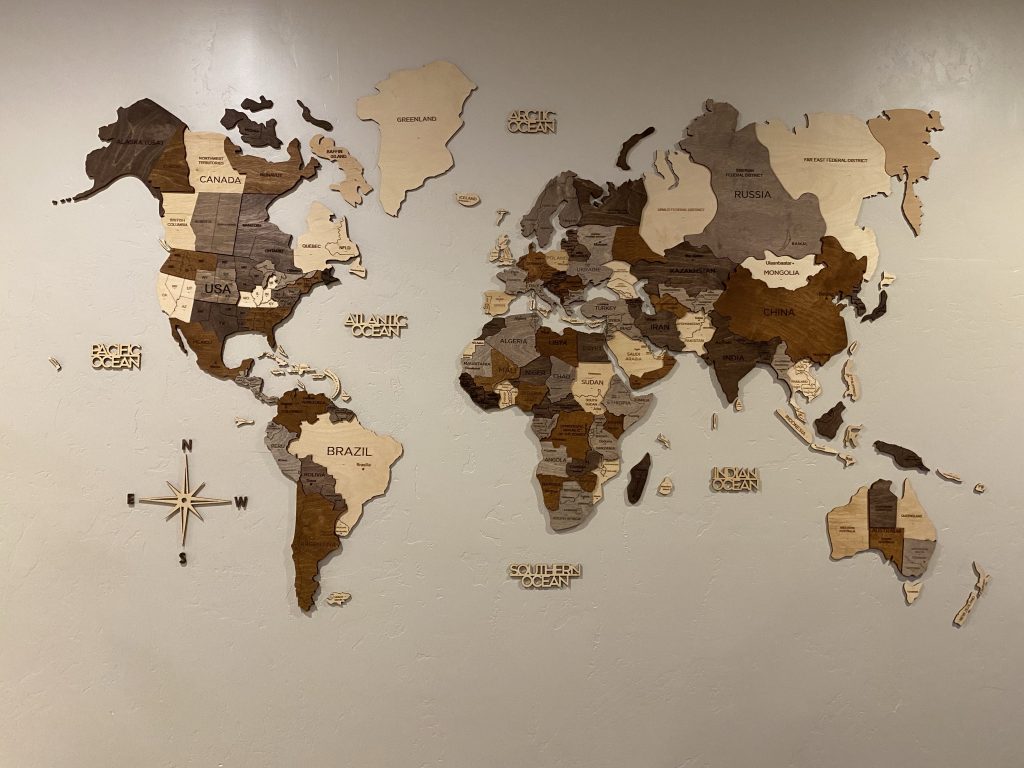
We’ve loved this map so much, we added a map of the US on our bedroom wall (very convenient for talking about all kinds of things), and my Christmas present in 2021 was a large wooden map for my family room wall.

I love a good map!!
Have a great time Ross family. Looking forward to your adventures!